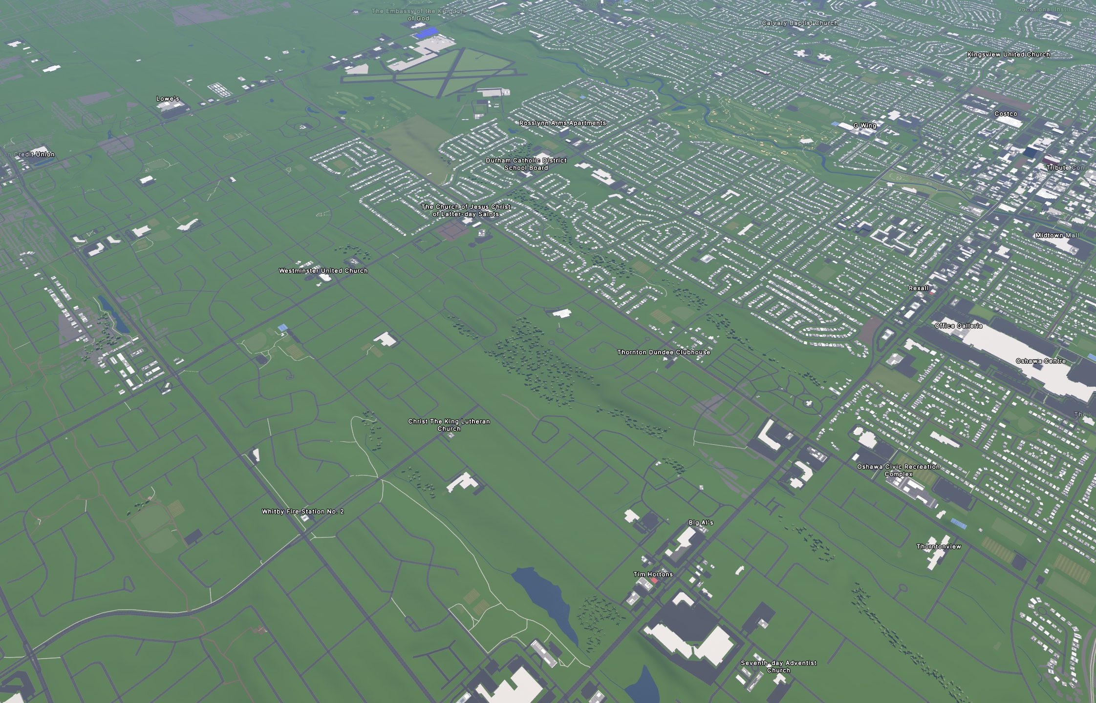
The left side is the next municipality over; I spent a month tracing all the buildings for the municipality on the right =)
I used streets.gl for the “Google Earth” view of the OSM data....
I used streets.gl for the “Google Earth” view of the OSM data....